

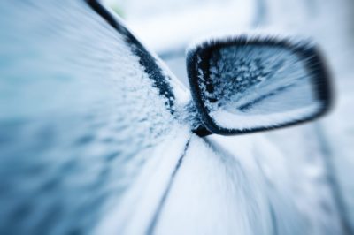
The groundhog said 6 more weeks of winter and it seems he was correct. Jacksonville is seeing some accumulation of snow today as winter storms move through the area.
Joe Crain, a Meteorologist with Newschannel 20 in Springfield, explains that we could see as much as two inches on the ground.

“Accumulation totals generally about 1 to 2 inches for those location in the vicinity of the I72 corridor including the Jacksonville area. A little farther north up toward Peoria and Bloomington, those locations could pick up closer to 3 inches maybe even more, because they will see the longest duration of snow throughout the day. Locations to the south likely seeing accumulation of an inch or less because it will take a little while for the snow showers to get going as we get into the afternoon.”
Crain says the snow won’t be on the ground for long.
“Tomorrow we will start to see the snow accumulation gradually diminish with the sunshine coming back out and by the time we get to friday it will be all gone because we will see temperatures back into the 50’s by then. This weekend it will feel like spring once again as we are back into the 60’s. Certainly a roller coaster forecast we’ve have had the last couple of weeks, where we get a stretch of 50 and 60 degree weather then we are back in the deep freeze relatively speaking and then before you know it we are back to spring like temperatures.”
Crain says that this winter has been very mild when it comes to snowfall.
“ I don’t know if it will end up as the least snowiest winter of all time in Central Illinois, but we certainly have the makings of ending up as being the second maybe the third least snowiest winter of all time if this trend continues through the rest of the winter season.”
The snow storm is expected to taper off as the afternoon continues with only a 30 percent chance of snow tonight.