

The National Weather Service in Lincoln has issued a fire weather watch. The watch will be in effect from Saturday morning through Saturday evening in the following counties in the listening area: Morgan, Sangamon, and Scott.
This watch means that weather coupled with available fuels are at a high potential. Those include a Haines Index of 5 or 6, indicating a moderate or high potential for large, plume dominated fire growth, Wind shifts associated with frontal passages, poor relative humidity recovery overnight, or a first significant lightning event after an extended hot or dry period. The National Weather Service predicts that south to southwest winds will gust from 35-45 mph during the day on Saturday.

According to the U.S. Drought Monitor, the entire WLDS/WEAI listening area is under abnormally dry conditions. Morgan, Scott, Cass, Schuyler, Sangamon, and Brown have all been at least under abnormally dry conditions for the last month causing the red flag alerts for the fire watches issued this week.
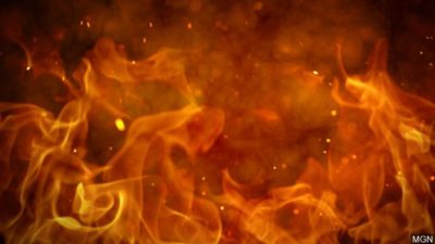
Residents are urged not to burn trash, leaves, or have large bonfires outside over the weekend to avoid possible outbreaks of fires.
Several field fires were reported across central Illinois Wednesday afternoon, according to the Illinois Department of Transportation. A large fire was reported in a farm field in Champaign around 3 p.m. Wednesday that caused poor visibility across a large portion of Interstate 72 that caused at least one two-car accident. Fires were also reported near west of Effingham and near Mason City.