

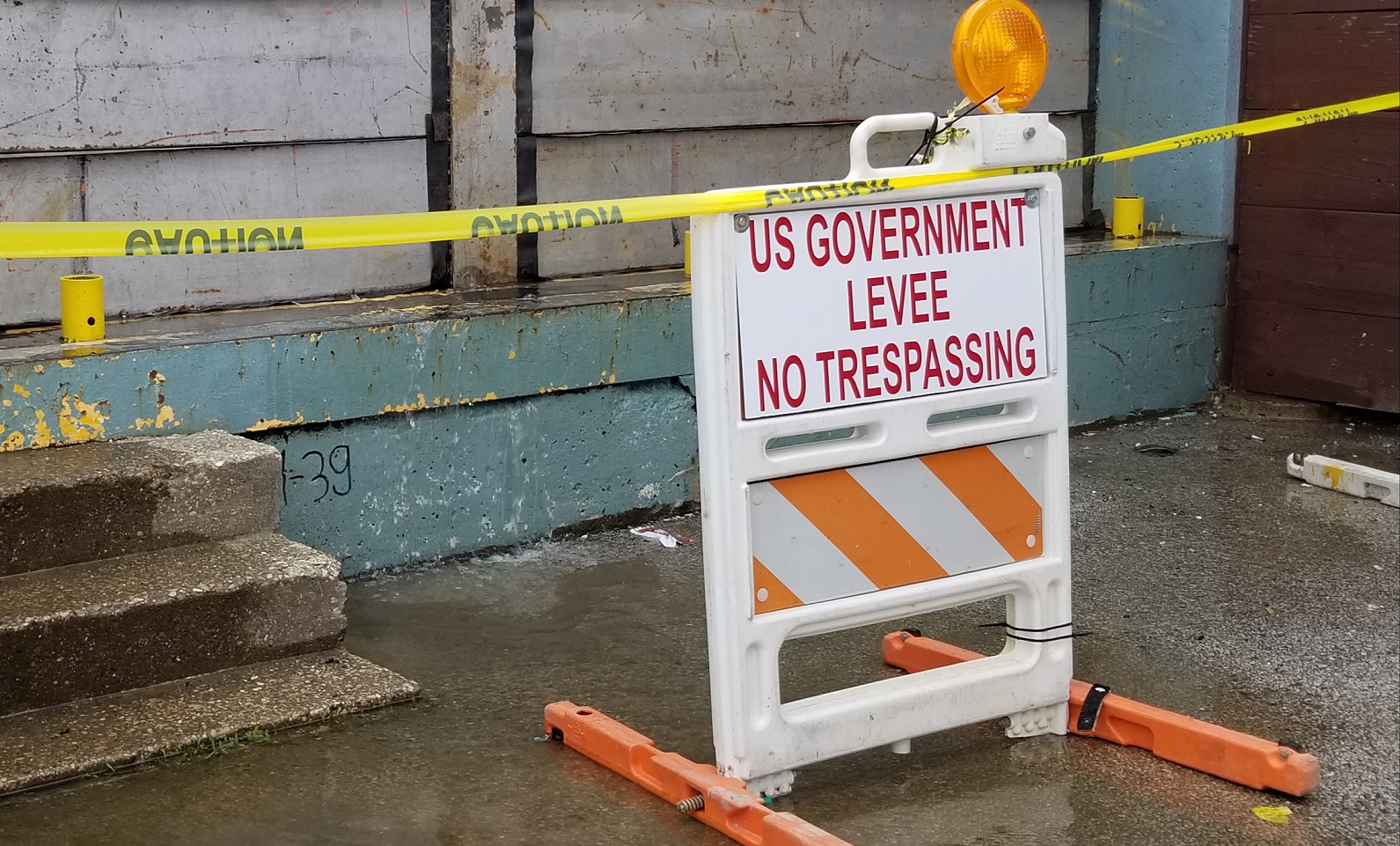
The Illinois River Valley is facing historic flood stages in the region and actions are being taken to secure residents. Floodwaters have been on the levies for over 2 months. Records from the National Hydrologic Prediction Service indicate that this greater or equal to flooding that occurred in the area in 1927 and 1943.
Acting Director of Illinois Emergency Management Alicia Tate-Nadeau said, “Communities in West Central Illinois began flood fighting efforts 12 weeks ago. [IEMA] talked six months ago about an event like this happening and what would these communities needs would be. What’s behind us [in the river] is a real threat.” Nadeau went on to say that citizens need to be prepared for what’s coming. “If you live in a river community, especially in the counties of Calhoun, Jersey, Greene, Scott, Morgan, Pike, and Cass county, the time to act is now. Put together your family evacuation plans. Where will you go? Do you need help with an evacuation? Make those calls today.”

-
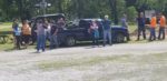
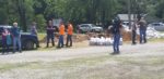
- Onlookers at a press conference in Meredosia Thursday
-
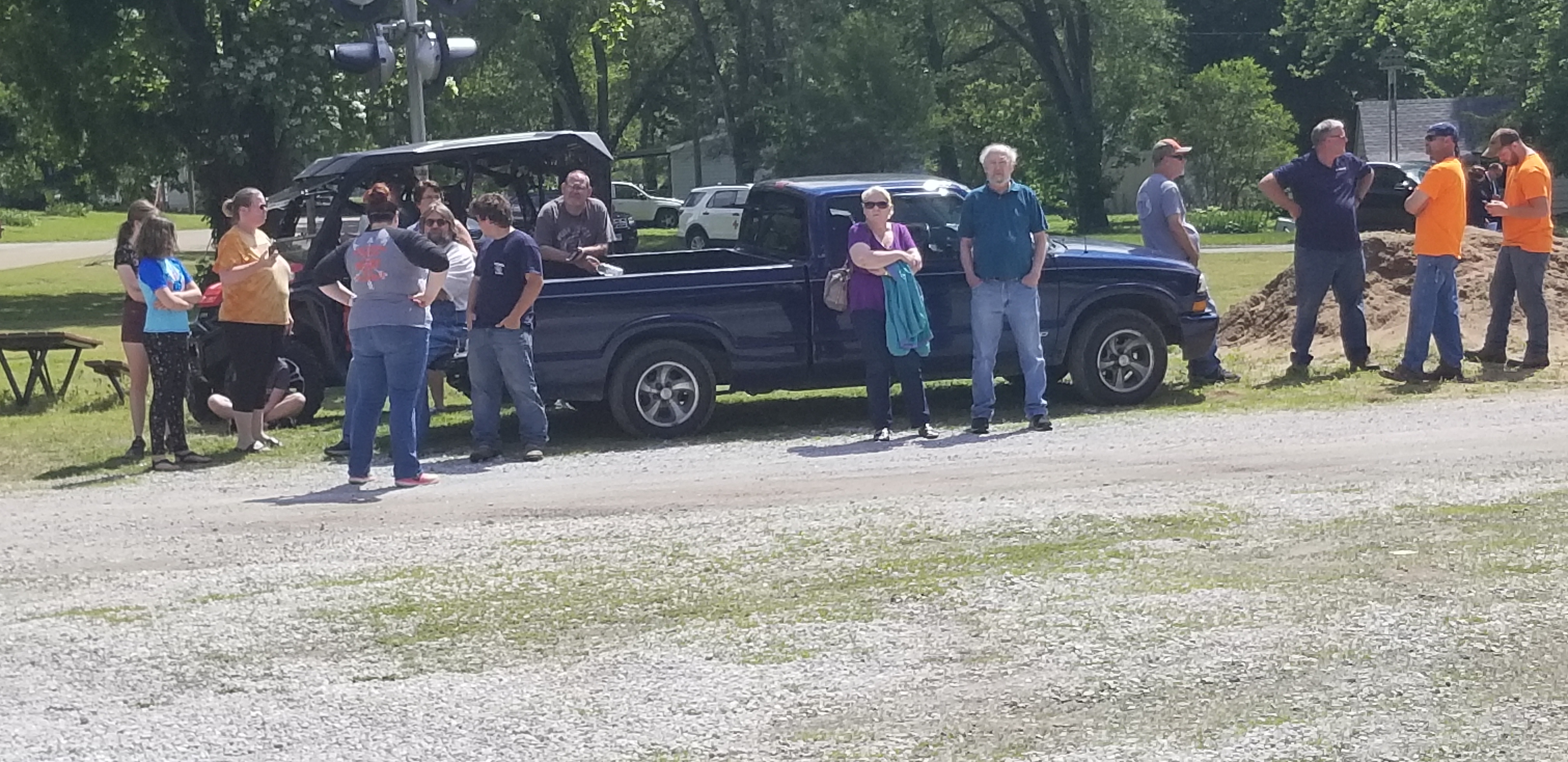
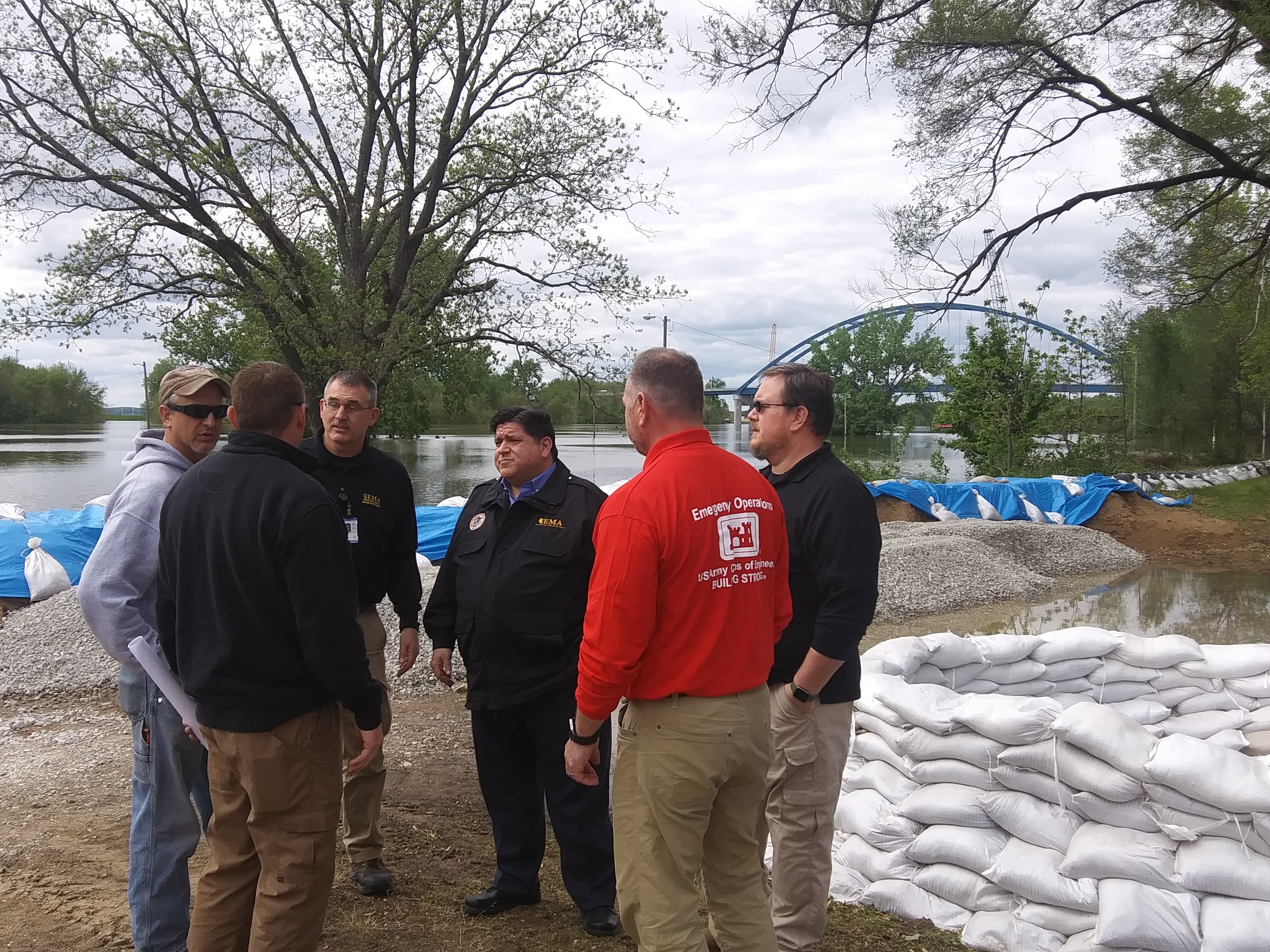
- Local Meredosia officials discuss the press conference in Meredosia on Thursday

-
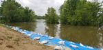
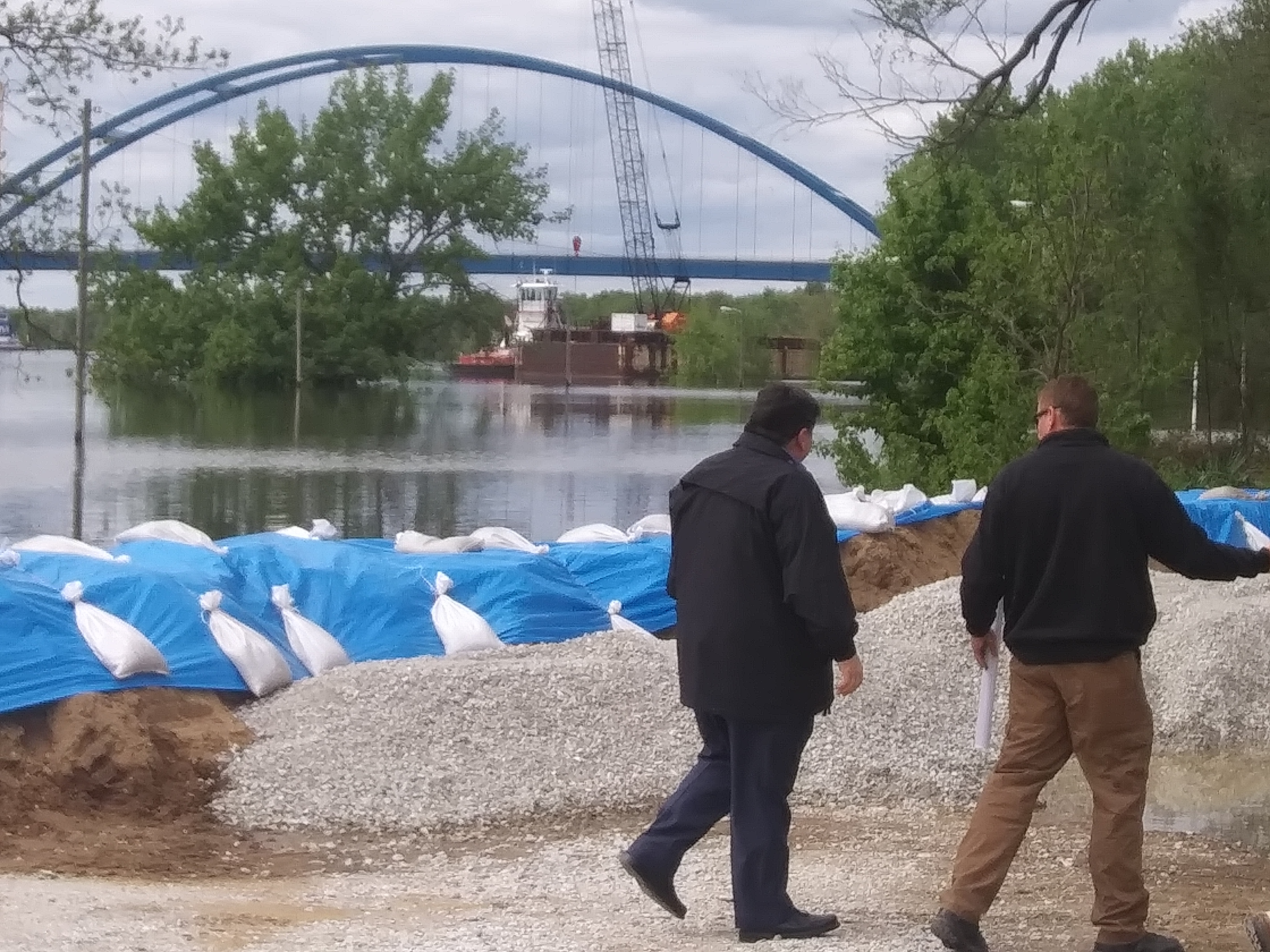
- Meredosia’s Boat Dock levy to the south.

-
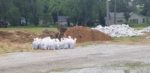
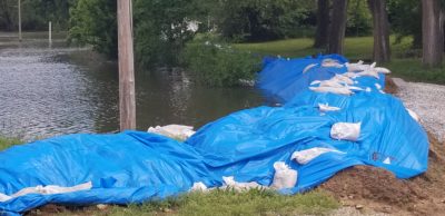
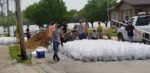
- Sandbagging equipment at Meredosia’s boat dock is ready for work

-
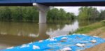
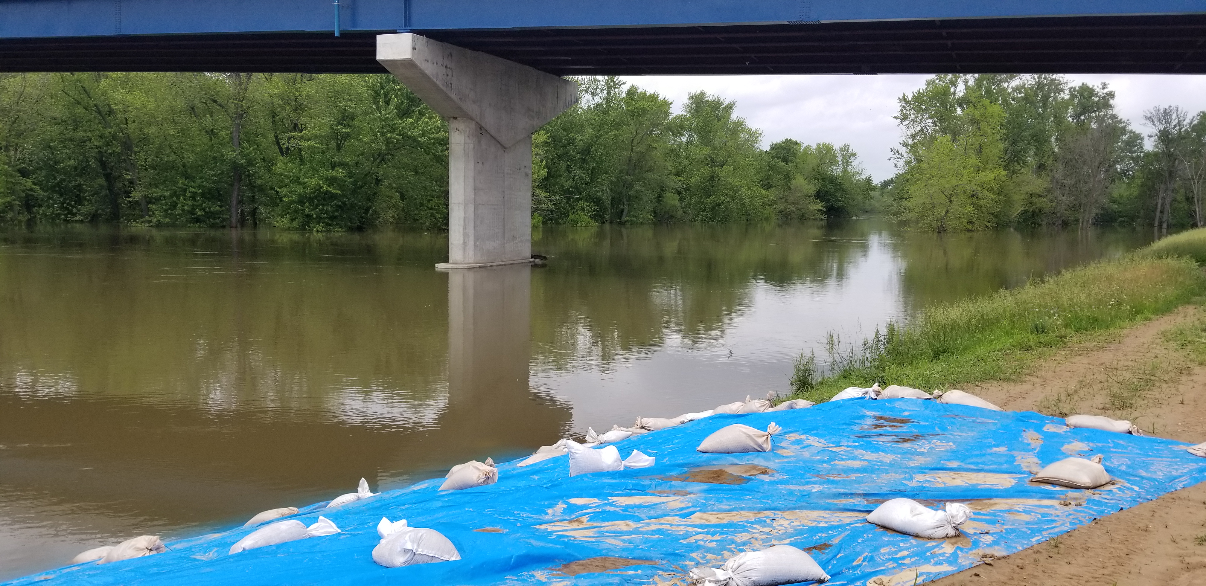
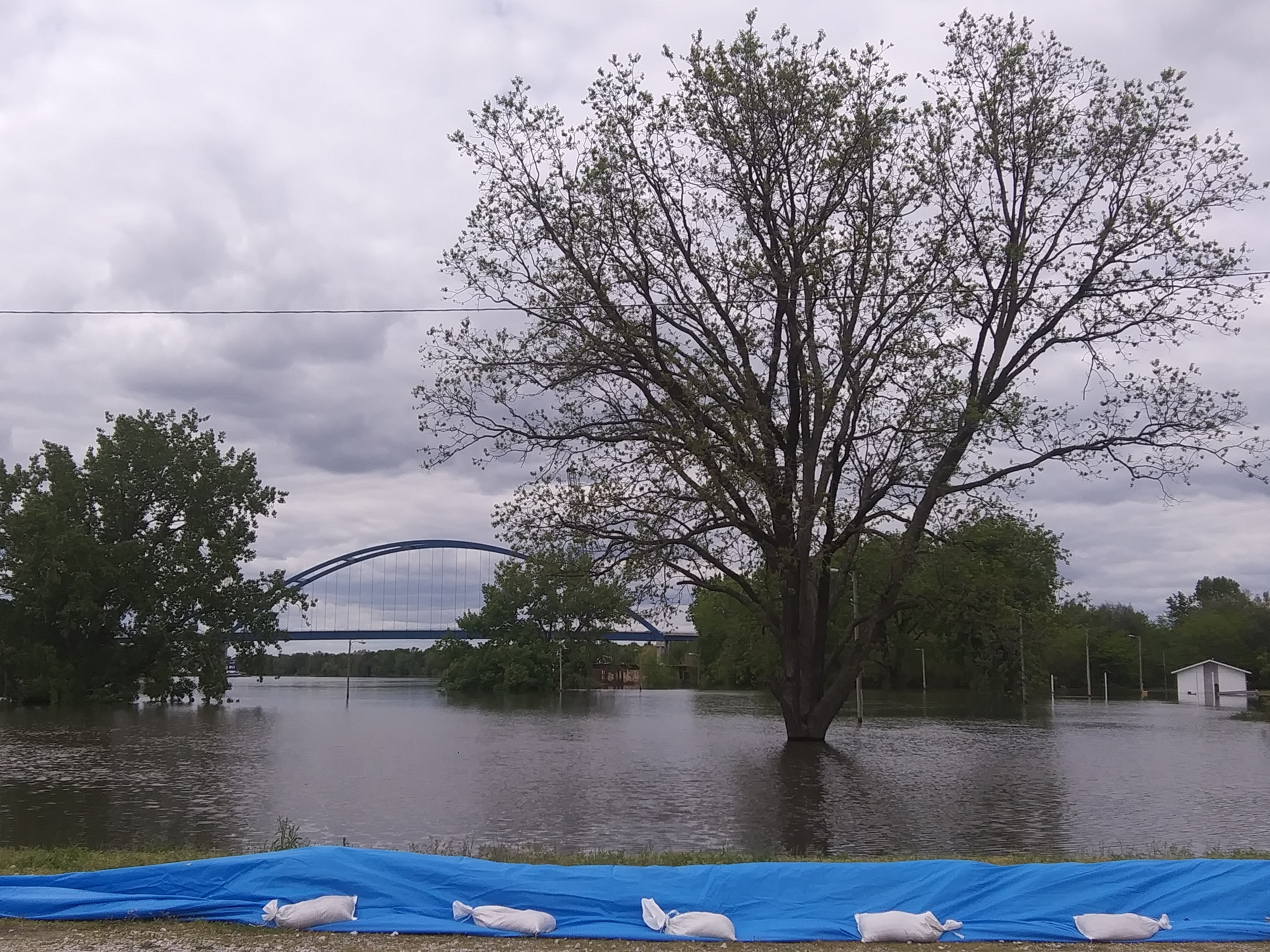
- A view under the Meredosia bridge near the Boat Dock
-
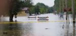
- Flooding from Mauvistairre Creek in Jacksonville on Route 106

-

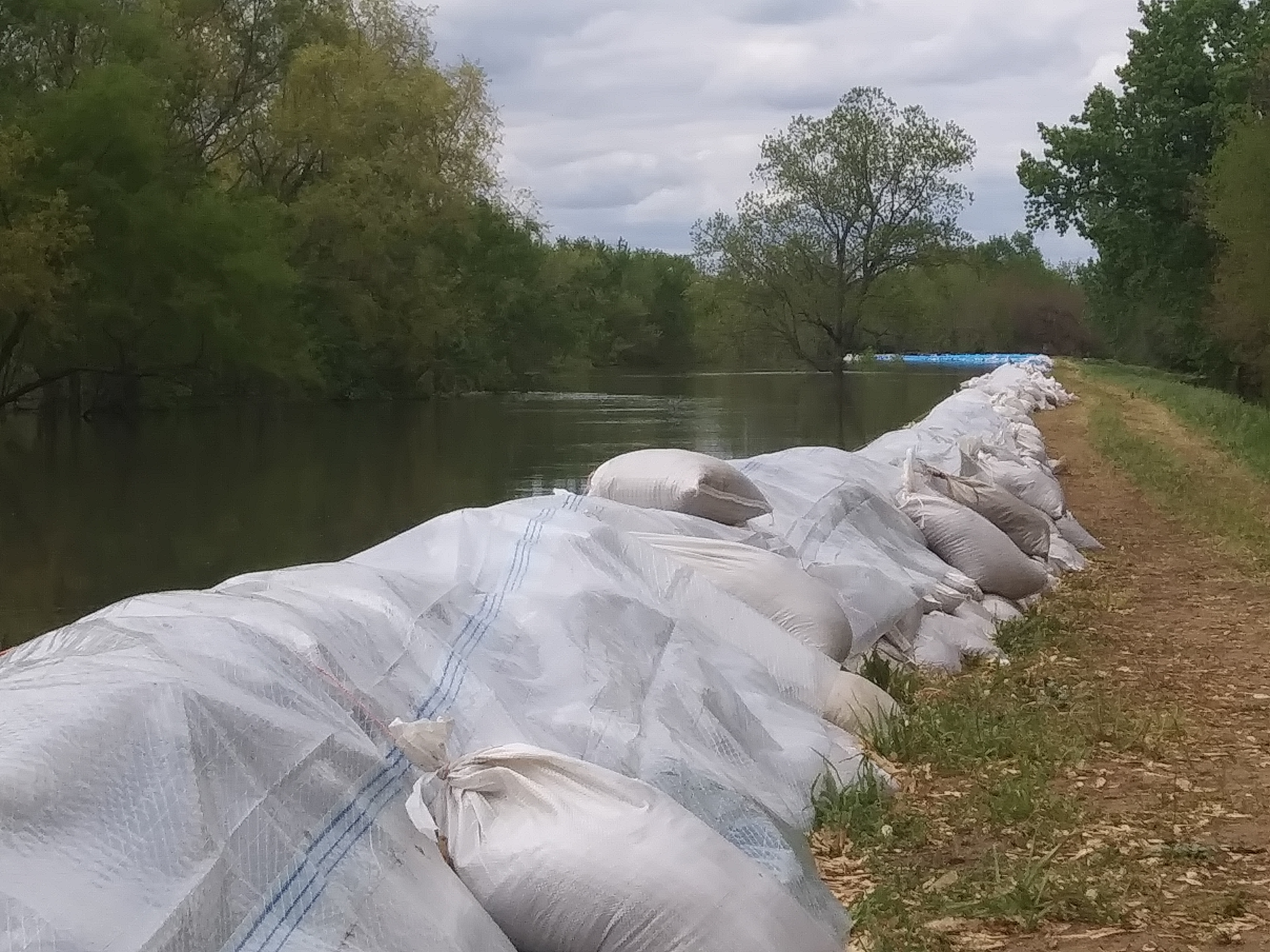
- A manmade berm here protects the northwest portion of Meredosia
-
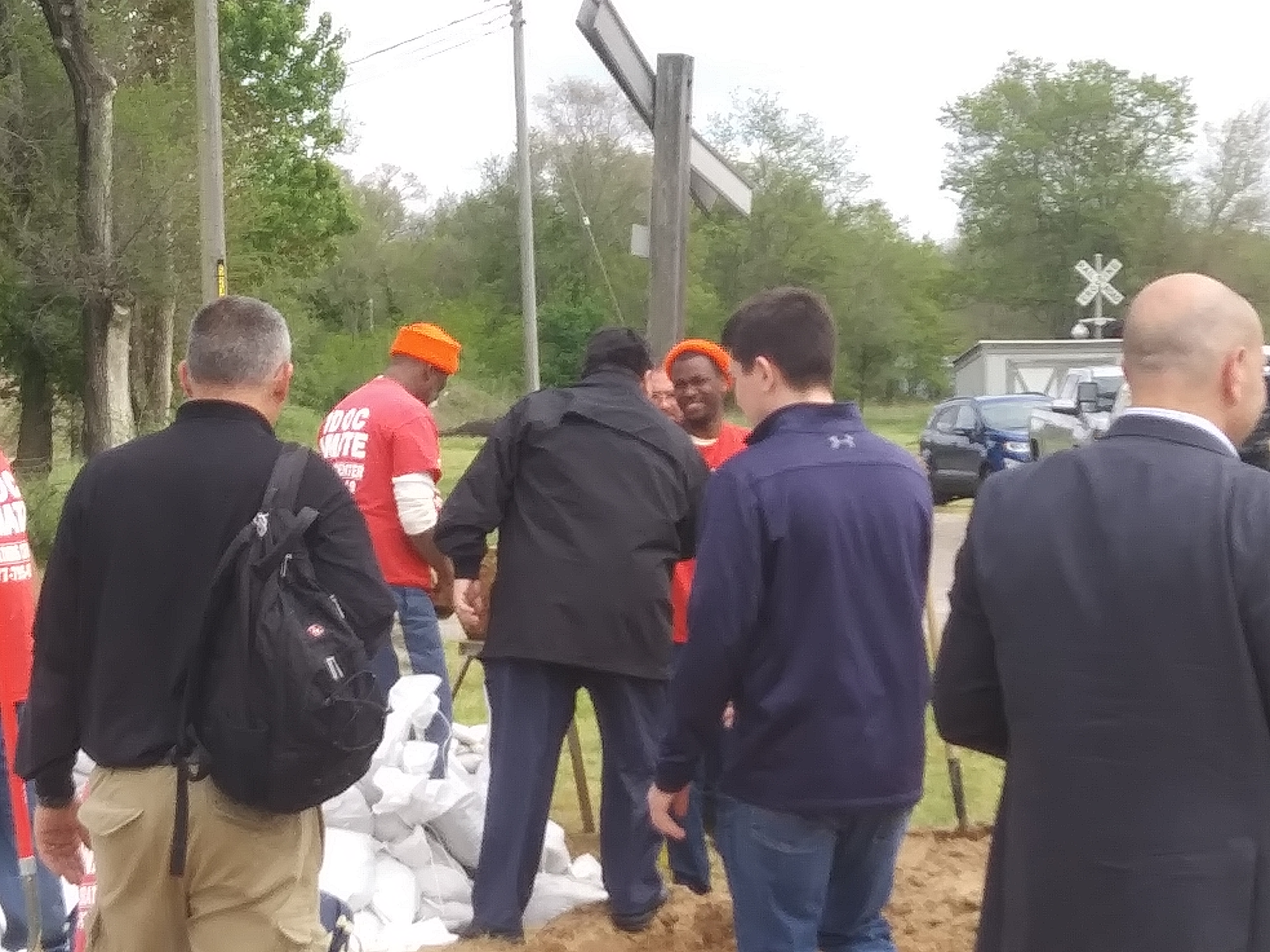
- Governor Pritzker made sure to thank correctional inmates working to build sandbags in Meredosia
-

- Gov. Prtizker observes the levy in Meredosia earlier in May
-
- The leaking river wall in Beardstown along the River Walk.
-
- Volunteer sandbaggers near downtown Hardin
-
- Views south on Illinois Route 100 at Kampsville Ferry landing.

Pike County nearly had a disaster of those proportions on Thursday evening, as sinkholes began developing along the Sny Levee. Fortunately, flood fighting crews were nearby placing sandbags and were able to stop a breach and mitigate any further damage in a short amount of time. With water against the levees for this length of time, local residents can expect issues like sinkholes, boils, and possibly breaches to happen.
Governor J.B. Pritzker announced the activation of the Illinois National Guard to deploy to West Central Illinois at noon on Thursday. Nadeau stated that 200 guardsmen would be joining the Illinois Department of Corrections, the Illinois Department of Transportation, local EMA officials and volunteers in their sandbagging and levee engineering efforts. Nadeau says 2000 more are on standby should an emergency be declared.
Illinois Department of Natural Resources Conservation Officer Robert Macias said that the United States Coast Guard had taken up command of a “safe zone” of the Illinois and Mississippi Rivers in the area. Mile Marker 108 near southeast Lake Anderson Recreation Area in Astoria, Illinois to Mile Marker 10 near Hardin would be closed to all traffic unless permission were granted directly by the Coast Guard. “Questions about the safety zone can be directed to the U.S Coast Guard upper sector at 314-269-2332. Public safety and first responders are our primary concern here. Now, when operating in safety zone waters with a commercial vehicle on the river, operators are liable for any damages to the levees that their weight may cause,” Macias explained. Local and federal fines will be imposed on anyone found by officials operating in the safe zone waters.
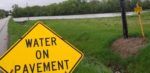
The Illinois Department Transportation, besides transporting sandbags to necessary areas, continue to monitor river-area roadways and infrastructure. Deputy Secretary of the Illinois Department of Transportation says that roads aren’t being closed without good reason. “It is absolutely crucial that everyone understands that we don’t close public infrastructure lightly. It is always with public safety in mind. If you come to a detour, honor it. Follow that detour. Stay off of closed roads. There are issues, either with the underlying infrastructure below the surface of the water, the depth of the water, or whatever it may be. It’s for public safety. Please stay off of those roads. Also, if you come to a place where water is over the roads, don’t think you can just cross it. Inches of floodwater can sweep a vehicle away or a person attempting to exit a vehicle away. Turn around, don’t drowned.” Roads in and around the levies, local roads, and state roads like the River Road all have closures, including most bridges and ferries.
Morgan County Emergency Management Coordinator Phil McCarty, Scott County Emergency Management Coordinator Justin Daws, and Greene County Emergency Management Coordinator and Sheriff’s Deputy Cale Hoesman all encouraged residents to stay off of levies and for sight-seers to stay away from the effected areas because they may cause further harm to the levees or to emergency officials needing transport. “We’ve done everything with all of our core partners to make sure things will be maintained. We are going to continue to do everything in our humanly possible efforts to make sure that the levees don’t break. When it does, we are asking residents to have a plan so you can get out safely, so our responders can get in and help you or take of your neighbors. Have a plan. The river is closed for a purpose. It’s a beautiful place and it will go back in its banks. They’ll be plenty of time to see it later, but it needs to be closed to protect our levees and to protect our infrastructure. It’s closed for a reason,” said McCarty at Meredosia on Thursday.
Winchester established an operation center for several municipal, county, and state agencies at the EMS building located on Route 106 east town yesterday afternoon. The fully staffed and operational outpost will act as a command center for the lower Illinois River Valley and a place for residents to come if they need assistance or have questions.
In the north and the south, Lewis County, Missouri and Alton both had levy breeches that took some pressure off of levies but not enough. Record crests are still expected all along both rivers. The Mississippi River is also beginning to have a factor further west, further squeezing residents in the local flood plain.
The Advanced Hydrologic Prediction Service expects the following crests by late Monday or Tuesday afternoon in the following locations:
Hardin – 40.3 feet, placing it at the second highest crest all time, behind only 1993’s record 42.4 feet
Valley City – 27.3 feet will establish a new record high in that district.
Meredosia – 28.8 feet will fall just one-tenth of an inch shy of the record established in July 2015
La Grange Lock & Dam – 34.5 feet would tie it for the second highest crest set in 2013.
Beardstown 29.4 feet would place it at the 4th highest recorded crest, just ahead of the flood of 1995
With a brief rain shower forecast for Saturday and then more storms late next week, the soggy weather looks to continue into June. WLDS/WEAI News will continue to pass along any emergency information updates as they come available from officials.