

Jacksonville is gearing up for a potential weather event that hasn’t been seen in nearly 14 years. A significant ice storm is expected to begin tomorrow in the overnight hours of 3AM and lasting until 6 tomorrow night. The winter storm is expected to bring mixed precipitation upwards of 0.3 inches across the I-72 corridor.
WICS Newschannel 20 Storm Team meteorologist Bryan Schuerman says that precipitation may look like rain at first, but it will be the most dangerous once it hits the ground: “We are watching an area of low pressure that will be lifting off to the east of the region that brought severe weather to portions of eastern Texas and southern Louisiana. As that moisture lifts into Illinois, the ground is sufficiently frozen to where even though the moisture is going to fall as liquid, it will freeze on contact. With temperatures not going far above freezing as we head throughout New Year’s Day, we are looking at the potential for a significant icing event along the northwest of Interstate 55, which does include Jacksonville, Springfield, up to Lincoln and also Peoria and Bloomington as well.”

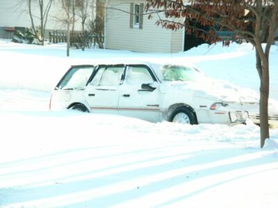
Initially the region was under a winter weather advisory but it was upgraded yesterday afternoon. Schuerman believes that with new models he’s been seeing more freezing rain is expected to happen later in the day today. Schuerman says it’s going to lead to hazardous travels everywhere in West Central Illinois: “The best thing to do in this kind of situation is to just stay home. We are already hearing that from local health officials as we go into the New Year: Stay home, stay with your immediate family. Same thing can be said for an icing situation like this. When we see ice amounts of 0.3″ to 0.4″ for what the Ice Storm Warning is calling for, we could easily see power lines come down, tree limbs come down, road become near impossible because there is nothing on the ground but the pavement. It’s not one of those situations where we are going to have snow on the ground and then we put ice on top of it. This is just going to be plain, old ice; and this is probably one of the worst winter things we could see. It would be easy if we had snow on the ground because we could brush the ice off of it. This is going to be ice to pavement, and you’re not going to be able to see it [if you’re driving]. So this is one of those times to stay home, keep the cellphone charged, have everything ready in case power outages occur if the lines come down, and just stay off the roads. The further we go into Friday, things could get dicey.”
Schuerman says he doesn’t really expect snowfall to occur on top of the ice at this time. He believes that the storm will pack a little of everything as far as winter precipitation is concerned, with the majority of the system clearing out by late Saturday. Snow accumulation is expected to be a half inch or less.
On November 30th-December 1st, 2006 over a foot of snow fell from Oklahoma to southeastern Wisconsin and accumulations of sleet and freezing rain in excess of 2 inches were common across eastern Missouri and western Illinois. Reports of thundersnow occurred with this event.
Jacksonville and several nearby towns experienced lengthy power outages. During the 2006 storm, nearly a half million customers between Illinois and Missouri were without power. Jacksonville and Morgan County experienced a similar episode in 1978.