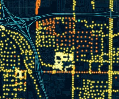
The City of Winchester is looking to move its abilities to locate utility lines into the future. Utility Safety and Design, Inc. presented a proposal to the city to create a new master map of the city’s gas mains using the Geographic Information System technology or GIS.
GIS connects data in an electronic format by integrating location data with descriptive information through a computer, tablet, or smartphone.
Winchester Utility Superintendent John Simmons says that the GIS mapping requirement by the Illinois Commerce Commission is quickly upon the city. He says it will also help the city better service its customers: “It transfers all of your cathodic protection, all your reports, and everything to comply with the ICC. It will all be downloaded into this system where if they want to see if we are doing our reports right, they can just go online and bring the information up. I won’t have to do the reports with paper anymore. I can just do it right on my phone at the job site. It’s got an annual fee and a start up fee. It’s not mandatory right now, but ICC is recommending everybody get on board with it for all of their reports and everything. From what I’ve been told, it’s probably going to become mandatory from ICC real soon.”
The data will be able to provide historical and up-to-the-minute data on leaks, valve inspections, odor intensity, new construction, and other major inspections among others. Utility Safety and Design will also be able to modify the GIS system to suit the city’s specific needs. The cost of the service is $3,750 annually plus a one-time start-up cost of $2,000. The city will also have to pay for initial training and user-based data fees up front.
The item is expected to be voted on at the March Winchester City Council meeting.


